Severe Weather Outlook
Hayley here - Do you like lofi music and terrifyingly loud computer voices? Then stop by the 24/7 ish severe weather live stream!
Outlook for Sunday, June 22
Outlook Summary
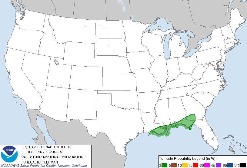
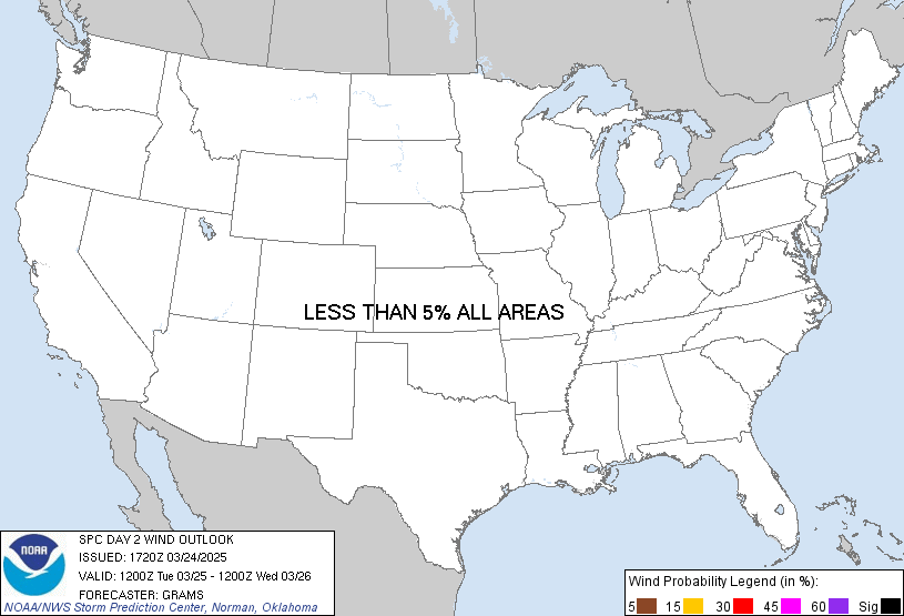
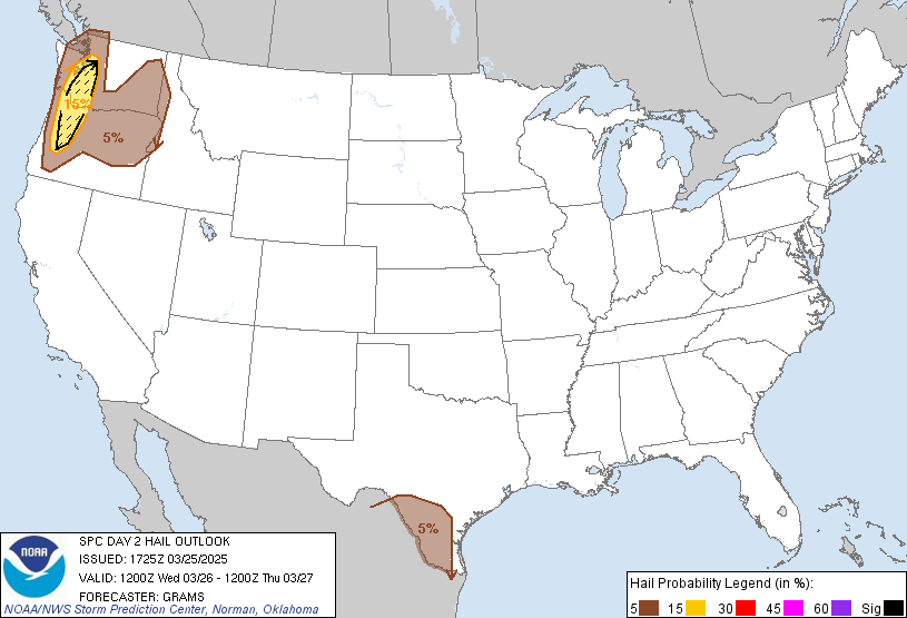
Severe thunderstorms are possible on Sunday from parts of the central and northern Plains into the upper Midwest. Significant hail and wind are possible across parts of eastern North Dakota and northern Minnesota, along with some tornado potential.
Outlook Images
Detailed Outlook
SPC AC 210600
Day 2 Convective Outlook NWS Storm Prediction Center Norman OK 0100 AM CDT Sat Jun 21 2025
Valid 221200Z - 231200Z
THERE IS A SLIGHT RISK OF SEVERE THUNDERSTORMS FROM THE UPPER MIDWEST INTO CENTRAL NE
### SUMMARY
Severe thunderstorms are possible on Sunday from parts of the central and northern Plains into the upper Midwest. Significant hail and wind are possible across parts of eastern North Dakota and northern Minnesota, along with some tornado potential.
Synopsis
A mid/upper-level low initially over ID is forecast to move northeastward as a shortwave trough Sunday, reaching parts of the northern Great Plains and Canadian Prairies by Sunday night. As this occurs, a surface low initially over parts of NE/SD will move toward northwest MN, as a trailing cold front moves across parts of the central/northern Plains and Upper Midwest.
Farther east, a mid/upper-level shortwave trough and associated surface low and weak cold front will move across parts of New England. Guidance continues to vary regarding the timing and intensity of this system. In the wake of this shortwave trough, an upper ridge will amplify into parts of the Northeast.
Great Plains into the Upper Midwest/Great Lakes
Strong to extreme instability will again develop from the central/northern Plains into the Upper Midwest and Great Lakes, along/ahead of the front. Stronger deep-layer flow and ascent will tend to lag behind the front, though sufficient vertical shear for organized storms will be in place along the front.
The most favorable environment is expected near the track of the primary surface low from eastern ND into northern MN, where 40-50 kt of midlevel flow will overlap strong to extreme instability. Supercell development will be possible near the low track and in the vicinity of a warm front extending east-northeast from the low, with some clustering and upscale growth possible with time. With large-scale ascent tending to lag behind the front, coverage of storms into early evening is uncertain, but any supercells could pose a threat of all severe hazards, including tornado and very large hail potential. Any organized upscale growth would result in an increasing damaging-wind threat (including conditional potential for gusts near/above 75 mph) as storms spread east-northeastward into the evening.
More isolated severe storms will also be possible within the post-frontal regime across the northern High Plains, where moderate MUCAPE and sufficient deep-layer shear could support isolated supercells or small clusters capable of severe hail and wind.
Farther south into the central Plains, both instability and deep-layer shear will be somewhat weaker, due to warmer temperatures aloft and weaker flow. However, strong heating near and east of a developing secondary low across the central High Plains could result in scattered storm development near the front by evening. Relatively unidirectional southwesterly flow could result in a few stronger northeastward-moving cells/clusters capable of damaging wind and isolated hail.
Scattered storms will also be possible within a weakly capped environment into parts of the southern High Plains. While deep-layer flow/shear will weaker in this area, moderate buoyancy and steep low-level lapse rates could support isolated severe gusts with the strongest storms.
Parts of the Northeast/New England
Isolated strong storms may be ongoing Sunday morning across parts of the Northeast/New England, within a low-level warm advection regime. Confidence is low in the details, due to model variance regarding the strength and timing of the shortwave trough and surface low that will move through the region. Increasing instability and sufficient deep-layer shear will conditionally support organized convection through the day.
At this time, the most likely scenario is for an isolated severe threat to persist through parts of the morning, before diminishing during the afternoon as the upper ridge builds into the region. However, with strong to extreme buoyancy expected to develop during the afternoon, the area will need to be closely monitored for diurnal redevelopment along any remnant surface boundaries.
..Dean.. 06/21/2025
CLICK TO GET WUUS02 PTSDY2 PRODUCT
NOTE: THE NEXT DAY 2 OUTLOOK IS SCHEDULED BY 1730Z
National Risk Overview
- Saturday, June 21
- TORNADO: 2%
- HAIL: 15%
- WIND: 15%
- Sunday, June 22
- TORNADO: 5%
- HAIL: 15%
- WIND: 15%
- Monday, June 23
- ANY SEVERE: 15%
- Tuesday, June 24
- ANY SEVERE: predictability too low
- Wednesday, June 25
- ANY SEVERE: predictability too low
- Thursday, June 26
- ANY SEVERE: predictability too low
- Friday, June 27
- ANY SEVERE: predictability too low
- Saturday, June 28
- ANY SEVERE: predictability too low
Your Severe Outlook
Hey, it looks like your location wasn't detected.
Drag the marker on the map and we'll show you the severe weather potential for a given location.
Hi, I'm Hayley. Did you know that I run this site out of my own pocket? So if you'd like to help out and you're already planning on buying something off of Amazon, why not use our Amazon Severe Weather Outlook link before you buy and we'll get a tiny portion of your purchase.
About Severe Weather Outlook . com
SWO started as a spinoff project of wickedwx, but has since replaced the site.
- tornado hq - live severe weather warnings
- cyclocane - hurricanes/typhoons/cyclones
- tornado solitaire - play cards while you monitor the US severe weather threat
- tertremo - live view of earthquakes around the world
- earthquake solitaire - get live earthquake updates as you play your favorite card game


