Severe Weather Outlook
Hayley here
- Do you like
lofi music
whatever music Hayley put on
and terrifyingly loud computer voices? Then stop by the 24/7 ish severe weather live stream!
* stats delayed and were probably not accurate to begin with
Outlook for Saturday, July 26
Outlook Summary
Strong to severe thunderstorms accompanied by potentially damaging wind gusts are possible Saturday afternoon/evening in parts of the Upper Midwest/Lower Great Lakes into portions of the Mid-Atlantic. Isolated to widely scattered severe storms are also likely across the Northern Rockies, central High Plains, and northern Plains.
Outlook Images
Detailed Outlook
SPC AC 251725
Day 2 Convective Outlook NWS Storm Prediction Center Norman OK 1225 PM CDT Fri Jul 25 2025
Valid 261200Z - 271200Z
THERE IS A MARGINAL RISK OF SEVERE THUNDERSTORMS PORTIONS OF THE NORTHERN ROCKIES…CENTRAL HIGH PLAINS AND THE DAKOTAS AS WELL AS THE MIDWEST INTO THE MID-ATLANTIC
### SUMMARY
Strong to severe thunderstorms accompanied by potentially damaging wind gusts are possible Saturday afternoon/evening in parts of the Upper Midwest/Lower Great Lakes into portions of the Mid-Atlantic. Isolated to widely scattered severe storms are also likely across the Northern Rockies, central High Plains, and northern Plains.
Synopsis
The overall synoptic regime will largely remain in place over the next 48 hours across the country, characterized by a persistent upper ridge over the Southeast with longwave troughing west of the Rockies. A diffuse frontal zone draped from the upper OH Valley into the central Plains this morning should largely remain in place across the upper Midwest/Great Lakes region and will act as a foci for thunderstorm development through the afternoon. To the west, a low-amplitude impulse currently off the coast of southwest CA will propagate into the central Rockies/High Plains around peak heating. This will support isolated to scattered thunderstorm development that may persist into the overnight hours across the northern Plains.
Eastern North Dakota
Two rounds of severe thunderstorms appear possible across eastern ND and far northwest MN tomorrow afternoon and overnight. A weak surface front emanating out of the southern Canadian prairies will impinge on the northern edge of a plume of 70-75 dewpoints as it moves into northeast ND and far northwest MN. Steep mid-level lapse rates advecting into the region coupled with rich low-level moisture should support 3000-4000 J/kg MLCAPE by late afternoon. 30-40 knot mid-level flow will provide adequate deep-layer wind shear for organized storms, including the potential for a few supercells capable of large hail and severe winds. Increasing capping with southward extent should limit the spatial extent of this threat. Morning guidance hints at the passage of an MCS across the Dakotas overnight as a result of upscale growth of convection over the High Plains. Given the steep lapse rates in place upstream per 12z RAOBS and the passage of weak mid-level wave during the overnight period, this scenario appears plausible. However, deterministic solutions vary regarding the intensity of the potential MCS, and nocturnal cooling coupled with warm 850-700 mb temperatures at the base of the EML cast uncertainty onto how intense surface winds will be. Higher risk probabilities may be needed for either of these scenarios as forecast uncertainty become resolved.
Northern Rockies into the Northern/Central High Plains
An upper-level impulse currently off the southern CA coast is forecast to phase favorably with peak heating over the northern Rockies/central High Plains. This will promote thunderstorm development within the higher terrain of southern MT and northern WY and along a surface trough draped across the western Plains by late afternoon. Strong daytime heating under a plume of steep mid-level lapse rates and on the western fringe of a low-level moisture plume will result in deeply mixed profiles with around 500-1000 J/kg MLCAPE. Moderate mid-level flow within the CAPE-bearing layer may support adequate deep-layer shear for a supercell or two across MT/northern WY, but weaker shear with southward extent will limit storm organization/longevity. Regardless, thermodynamic profiles will be very favorable for strong to severe downburst winds.
Midwest to Mid-Atlantic
A weak mid-level impulse/MCV emanating out of the Plains will promote scattered showers and weak thunderstorms across the Midwest at the start of the forecast period. Lingering showers and clouds casts some uncertainty regarding diurnal heating/destabilization, but rich boundary-layer moisture already in place will likely support MLCAPE values upwards of at least 2000 J/kg by late afternoon. Areas along the composite frontal zone that can destabilize will likely see thunderstorm development by mid-afternoon as the MCV propagates east across the Midwest/Great Lakes. Augmented mid-level winds attendant to this feature will support 0-6 km bulk shear values on the order of 20-30 knots, which in conjunction with mean flow along the boundary, should promote a mix of semi-discrete cells and loosely organized clusters capable of damaging to severe winds and perhaps large hail.
Further east across southern PA into the Mid-Atlantic, thunderstorm development is anticipated by mid to late afternoon both within the central Appalachians and along a diffuse frontal zone. Despite weak mid-level lapse rates, rich low-level moisture should support widespread MLCAPE values of around 1500 J/kg with minimal capping. Easterly low-level winds under northwesterly mid-level flow will provide sufficient hodograph elongation for organized cells/clusters with an attendant threat for damaging/severe winds.
..Moore.. 07/25/2025
CLICK TO GET WUUS02 PTSDY2 PRODUCT
NOTE: THE NEXT DAY 2 OUTLOOK IS SCHEDULED BY 0600Z
National Risk Overview
- Friday, July 25
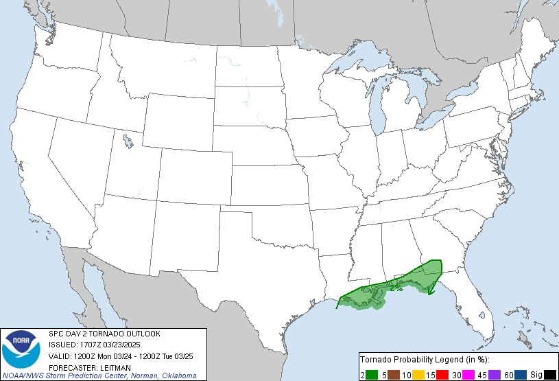
- TORNADO: 5%
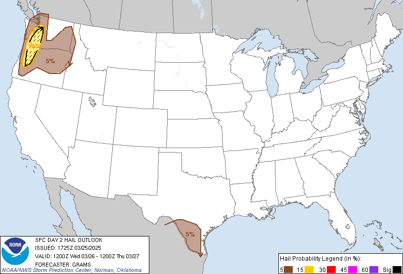
- HAIL: 15%
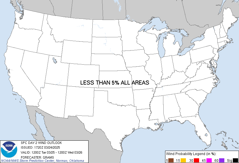
- WIND: 15%
- Saturday, July 26
- TORNADO: 2%
- HAIL: 5%
- WIND: 5%
- Sunday, July 27
- ANY SEVERE: 5%
- Monday, July 28
- ANY SEVERE: predictability too low
- Tuesday, July 29
- ANY SEVERE: predictability too low
- Wednesday, July 30
- ANY SEVERE: predictability too low
- Thursday, July 31
- ANY SEVERE: predictability too low
- Friday, August 1
- ANY SEVERE: predictability too low
Your Severe Outlook
Hey, it looks like your location wasn't detected.
Drag the marker on the map and we'll show you the severe weather potential for a given location.
Hi, I'm Hayley. Did you know that I run this site out of my own pocket? So if you'd like to help out and you're already planning on buying something off of Amazon, why not use our Amazon Severe Weather Outlook link before you buy and we'll get a tiny portion of your purchase.
About Severe Weather Outlook . com
SWO started as a spinoff project of wickedwx, but has since replaced the site.
- tornado hq - live severe weather warnings
- cyclocane - hurricanes/typhoons/cyclones
- tornado solitaire - play cards while you monitor the US severe weather threat
- tertremo - live view of earthquakes around the world
- earthquake solitaire - get live earthquake updates as you play your favorite card game


