Severe Weather Outlook
Hayley here
- Do you like
lofi music
whatever music Hayley put on
and terrifyingly loud computer voices? Then stop by the 24/7 ish severe weather live stream!
* stats delayed and were probably not accurate to begin with
Outlook for Tuesday, September 30
Outlook Summary
Severe storms are not expected on Tuesday.
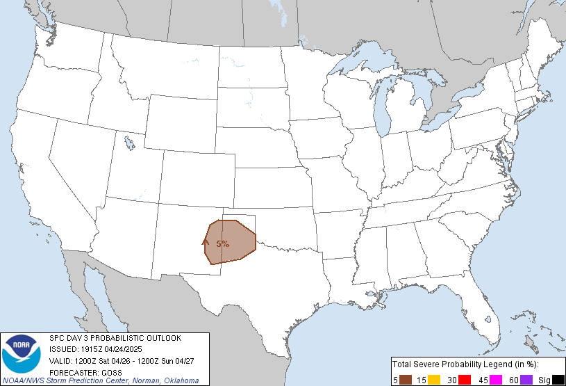
Outlook Images
Detailed Outlook
SPC AC 281914
Day 3 Convective Outlook NWS Storm Prediction Center Norman OK 0214 PM CDT Sun Sep 28 2025
Valid 301200Z - 011200Z
NO SEVERE THUNDERSTORM AREAS FORECAST
### SUMMARY
Severe storms are not expected on Tuesday.
Synopsis
A broad mid-level trough will meander along the West Coast through the day on Tuesday, with multiple embedded impulses poised to traverse the Interior West through the period. Cooler temperatures aloft and associated scant buoyancy will overspread the Washington Coastline, as well as the central and northern Rockies with the passage of these impulses, supporting the potential for a few lightning flashes. Otherwise, a couple of lightning flashes may be observed along the eastern FL peninsula or Carolina coastlines in association with (currently) Tropical Storm Imelda, which is expected to turn east and move away from land. Please visit www.nhc.noaa.gov for more forecast details of Tropical Storm Imelda.
..Squitieri.. 09/28/2025
CLICK TO GET WUUS03 PTSDY3 PRODUCT
NOTE: THE NEXT DAY 3 OUTLOOK IS SCHEDULED BY 0730Z
National Risk Overview
- Sunday, September 28
- TORNADO: low
- HAIL: 5%
- WIND: 5%
- Monday, September 29
- TORNADO: low
- HAIL: low
- WIND: low
- Tuesday, September 30
- ANY SEVERE: low
- Wednesday, October 1
- ANY SEVERE: potential too low
- Thursday, October 2
- ANY SEVERE: potential too low
- Friday, October 3
- ANY SEVERE: potential too low
- Saturday, October 4
- ANY SEVERE: potential too low
- Sunday, October 5
- ANY SEVERE: potential too low
Your Severe Outlook
Hey, it looks like your location wasn't detected.
Drag the marker on the map and we'll show you the severe weather potential for a given location.
Hi, I'm Hayley. Did you know that I run this site out of my own pocket? So if you'd like to help out and you're already planning on buying something off of Amazon, why not use our Amazon Severe Weather Outlook link before you buy and we'll get a tiny portion of your purchase.
About Severe Weather Outlook . com
SWO started as a spinoff project of wickedwx, but has since replaced the site.
- tornado hq - live severe weather warnings
- cyclocane - hurricanes/typhoons/cyclones
- tornado solitaire - play cards while you monitor the US severe weather threat
- tertremo - live view of earthquakes around the world
- earthquake solitaire - get live earthquake updates as you play your favorite card game


