Severe Weather Outlook
Hayley here - Do you want to see severe weather in your calendar?
* it's like an add-on for your digital calendar NOT a paper calendar
Outlook for Monday, October 5
Outlook Images
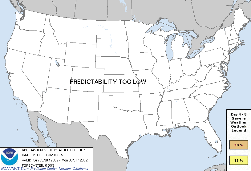
any severe potential too low
Note on Medium Range Outlooks
You are looking at an outlook that is part of the medium range forecast (the outlook for days 4-8). The most important thing to note is that lack of a risk does not mean zero risk. Generally speaking, confidence has to be pretty high for the Storm Prediction Center to have an outlook area this far into the future.
When no specific risk areas are shown, you might see one of these phrases:
- Predictability Too Low: This means that severe storms might be possible, but forecasters aren't confident enough about where or when they might occur. Think of it as the models showing different possibilities, like pieces of a puzzle that haven't come together yet.
- Potential Too Low: This means forecasters are fairly confident that widespread severe weather is NOT expected on that day. While isolated storms might still occur, the chance of reaching severe criteria across any given area is very low.
If you bookmark this page, it will continue to update with each new outlook that is issued.
Days Covered in this Outlook
| Day 4 | Thursday, October 1 | predictability too low |
| Day 5 | Friday, October 2 | potential too low |
| Day 6 | Saturday, October 3 | potential too low |
| Day 7 | Sunday, October 4 | potential too low |
| Day 8 | Monday, October 5 | potential too low |
Detailed Outlook
ZCZC SPCSWOD48 ALL ACUS48 KWNS 280856 SPC AC 280856
Day 4-8 Convective Outlook NWS Storm Prediction Center Norman OK 0356 AM CDT Mon Sep 28 2026
Valid 011200Z - 061200Z
DISCUSSION
Thursday/Day 4 to Friday/Day 5
On Thursday, a mid-level trough is forecast to move through the southern Plains. Ahead of the trough, an axis of moderate instability is forecast to be in place Thursday afternoon from central Texas north-northeastward into southwest Missouri. Thunderstorm development is expected along and near parts of the instability axis during the afternoon and evening. The area with the greatest potential for severe storms appears to be across central Texas, where current model forecast have moderate instability and moderate deep-layer juxtaposed. However, the favored corridor is forecast to be narrow, and there is some uncertainty concerning the placement of the instability axis. Severe wind gusts and hail will be possible with storms that form near the instability axis Thursday afternoon and evening.
Thunderstorms will again be possible ahead of the trough on Friday, from parts of the mid Mississippi Valley southwestward into the Ark-La-Tex. Along this corridor, an isolated severe threat will be possible with storms that develop near localized maximums of instability. However, deep-layer shear is forecast to be relatively weak, suggesting that any severe threat will remain marginal.
Saturday/Day 6 and Monday/Day 8
From Saturday to Monday, an upper-level trough is forecast to move from the northern Plains into the Northeast. At the surface, a cold front is forecast to advance southward from the Mid Mississippi and lower Ohio Valleys to near the Gulf Coast. Scattered thunderstorms will be possible each day ahead of the front, with the greatest convective coverage in the Southeast. Deep-layer shear is expected to remain relatively weak across the moist sector, which should minimize the potential for severe storms.
..Broyles.. 09/28/2026
CLICK TO GET WUUS48 PTSD48 PRODUCT
National Risk Overview
- Monday, September 28
- TORNADO: low
- HAIL: low
- WIND: low
- Tuesday, September 29
- TORNADO: low
- HAIL: low
- WIND: low
- Wednesday, September 30
- ANY SEVERE: 15%
- Thursday, October 1
- ANY SEVERE: predictability too low
- Friday, October 2
- ANY SEVERE: potential too low
- Saturday, October 3
- ANY SEVERE: potential too low
- Sunday, October 4
- ANY SEVERE: potential too low
- Monday, October 5
- ANY SEVERE: potential too low
Your Severe Outlook
Hey, it looks like your location wasn't detected.
Drag the marker on the map and we'll show you the severe weather potential for a given location.
Hi, I'm Hayley. Did you know that I run this site out of my own pocket? So if you'd like to help out and you're already planning on buying something off of Amazon, why not use our Amazon Severe Weather Outlook link before you buy and we'll get a tiny portion of your purchase.
About Severe Weather Outlook . com
SWO started as a spinoff project of wickedwx, but has since replaced the site.
- tornado hq - live severe weather warnings
- cyclocane - hurricanes/typhoons/cyclones
- tornado solitaire - play cards while you monitor the US severe weather threat
- tertremo - live view of earthquakes around the world
- earthquake solitaire - get live earthquake updates as you play your favorite card game