TORNADO HQ: waiting on update ...

Finding your location risk...

Severe Weather Outlook

show me my personal outlook →

Hayley here - Do you want to see severe weather in your calendar?


* it's like an add-on for your digital calendar NOT a paper calendar

Outlook for Thursday, June 4

Outlook Images

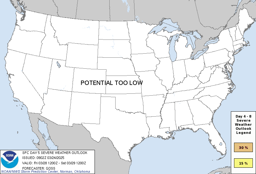
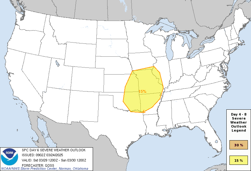
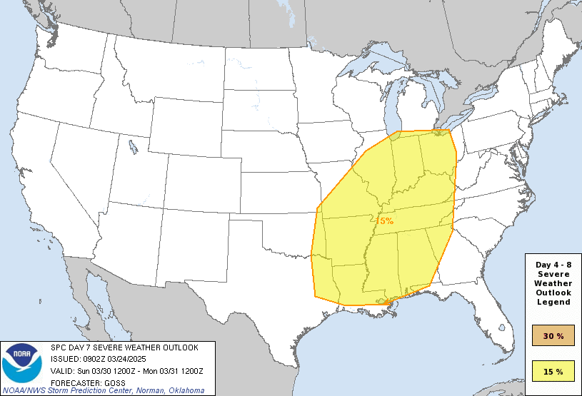
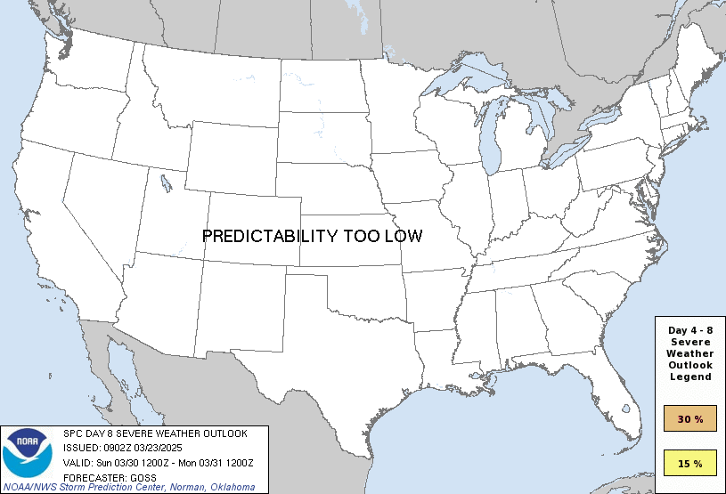
any severe predictability too low

Note on Medium Range Outlooks

You are looking at an outlook that is part of the medium range forecast (the outlook for days 4-8). The most important thing to note is that lack of a risk does not mean zero risk. Generally speaking, confidence has to be pretty high for the Storm Prediction Center to have an outlook area this far into the future.

When no specific risk areas are shown, you might see one of these phrases:

If you bookmark this page, it will continue to update with each new outlook that is issued.

Days Covered in this Outlook

Day 4 Sunday, May 31 predictability too low
Day 5 Monday, June 1 predictability too low
Day 6 Tuesday, June 2 predictability too low
Day 7 Wednesday, June 3 predictability too low
Day 8 Thursday, June 4 predictability too low

Detailed Outlook

ZCZC SPCSWOD48 ALL ACUS48 KWNS 280837 SPC AC 280837

Day 4-8 Convective Outlook NWS Storm Prediction Center Norman OK 0337 AM CDT Thu May 28 2026

Valid 311200Z - 051200Z

DISCUSSION

For much of the D4-D8 period, an upper trough is forecast to reside over the Northeast, with high pressure over the Great Lakes and much of the Midwest to Mid Atlantic. West of this surface high, southerly winds across the Plains will maintain a moist air mass with 60s and 70s F dewpoints prevalent.

In the upper levels, a weak negatively tilted trough will shift slowly northward across the northern Plains & Rockies on Sunday/D4 and Monday/D5, providing cooler temperatures aloft and slightly stronger wind speeds. Farther south into the central and southern Plains, winds aloft will be even weaker, however, the midlevels will remain relatively cool, supporting areas of strong instability due to steep lapse rates aloft.

In general, areas of strong thunderstorms appear likely on a daily basis across much of the Plains during the peak heating hours. Areas of severe storms will be possible as well due to the widespread 2000+ J/kg MUCAPE, with localized hail & wind potential where clusters develop. The NE/KS/OK/MO area in particular will be within the heart of the instability axis, with 3000-4000 J/kg possible.

Predictability is low in this pattern due to lack of large-scale forcing, and the fact that clusters of storms may persist overnight as various outflow boundaries affect storm potential each subsequent day. However, smaller/more focused areas of potential may become evident in subsequent outlook cycles.

..Jewell.. 05/28/2026

CLICK TO GET WUUS48 PTSD48 PRODUCT

National Risk Overview

Thursday, May 28
TORNADO: 2%
HAIL: 15%
WIND: 15%
Friday, May 29
TORNADO: low
HAIL: 5%
WIND: 5%
Saturday, May 30
ANY SEVERE: 15%
Sunday, May 31
ANY SEVERE: predictability too low
Monday, June 1
ANY SEVERE: predictability too low
Tuesday, June 2
ANY SEVERE: predictability too low
Wednesday, June 3
ANY SEVERE: predictability too low
Thursday, June 4
ANY SEVERE: predictability too low

Your Severe Outlook

Hey, it looks like your location wasn't detected.

Drag the marker on the map and we'll show you the severe weather potential for a given location.


Hi, I'm Hayley. Did you know that I run this site out of my own pocket? So if you'd like to help out and you're already planning on buying something off of Amazon, why not use our Amazon Severe Weather Outlook link before you buy and we'll get a tiny portion of your purchase.


Severe Weather Outlook Amazon link →


About Severe Weather Outlook . com

SWO started as a spinoff project of wickedwx, but has since replaced the site.