Hayley here - Do you want to see severe weather in your calendar?
* it's like an add-on for your digital calendar NOT a paper calendar
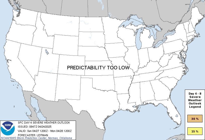
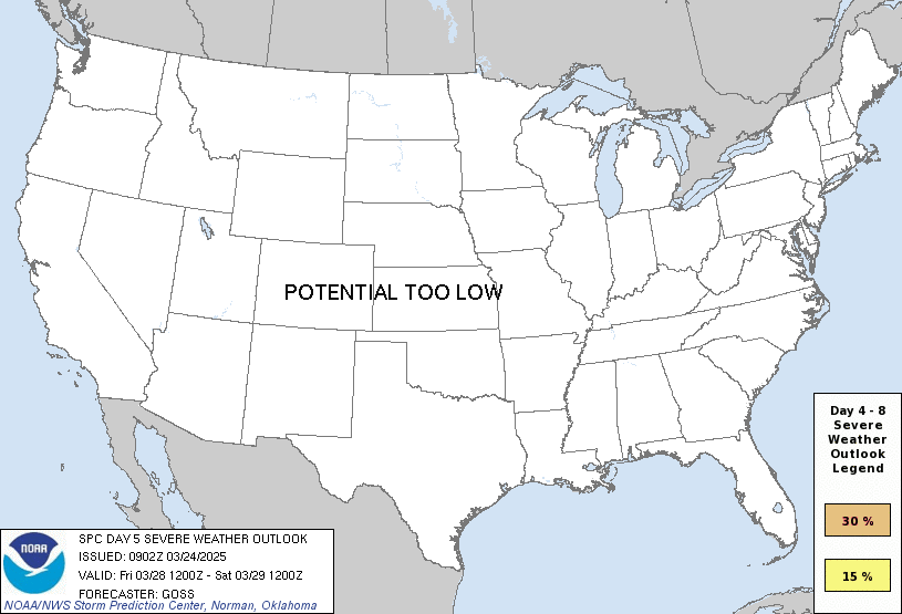
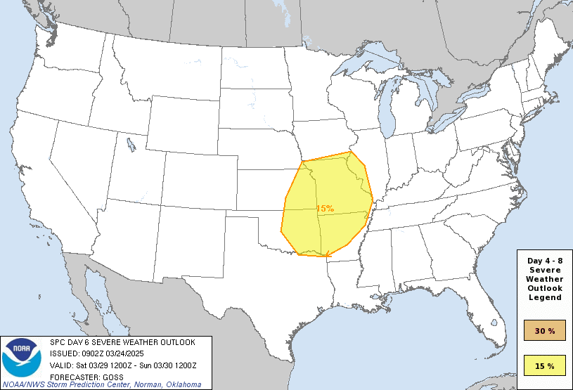
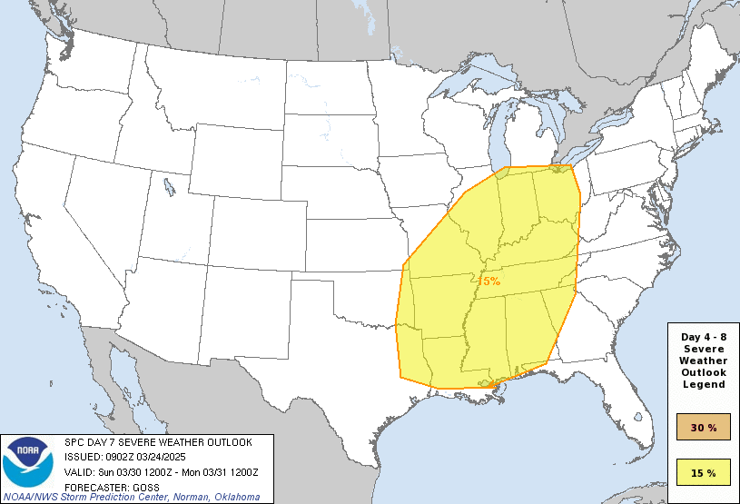
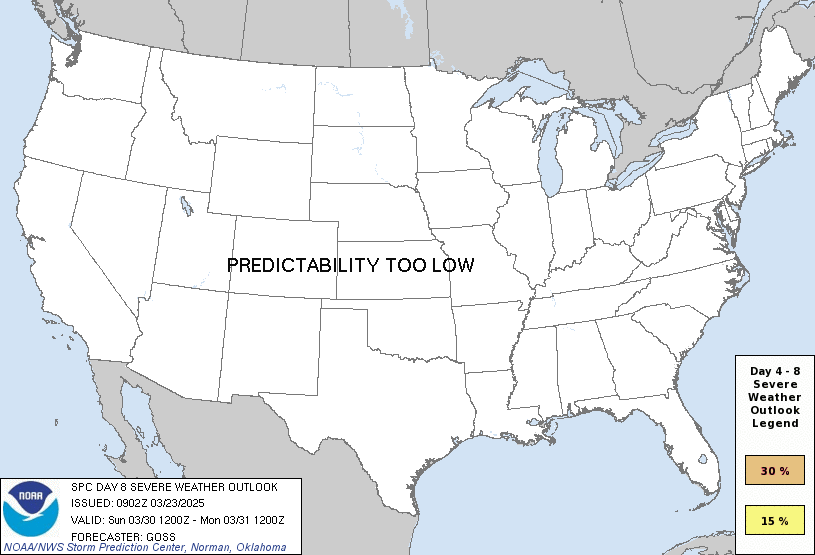
You are looking at an outlook that is part of the medium range forecast (the outlook for days 4-8). The most important thing to note is that lack of a risk does not mean zero risk. Generally speaking, confidence has to be pretty high for the Storm Prediction Center to have an outlook area this far into the future.
When no specific risk areas are shown, you might see one of these phrases:
If you bookmark this page, it will continue to update with each new outlook that is issued.
| Day 4 | Tuesday, July 28 | 15% |
| Day 5 | Wednesday, July 29 | predictability too low |
| Day 6 | Thursday, July 30 | potential too low |
| Day 7 | Friday, July 31 | potential too low |
| Day 8 | Saturday, August 1 | potential too low |
ZCZC SPCSWOD48 ALL ACUS48 KWNS 250845 SPC AC 250845
Day 4-8 Convective Outlook NWS Storm Prediction Center Norman OK 0345 AM CDT Sat Jul 25 2026
Valid 281200Z - 021200Z
DISCUSSION
Day 4/Tuesday
An upper low is forecast to develop from southwest ON into the northern Mid-Atlantic with an attending belt of 35-45 kt mid-level flow extending from the OH Valley into the southern Mid-Atlantic. At the surface, a cyclone will remain vertically aligned with the upper low, while a trailing cold front advances through the upper OH and TN Valleys into the Mid-Atlantic, Carolinas, and Gulf Coast states. A lee trough is expected to develop ahead of the cold front along the Piedmont Tuesday afternoon. Showers and thunderstorms (some potentially strong) are expected to be ongoing Tuesday morning from the upper OH Valley into the Mid-Atlantic, aided by forcing for ascent ahead of the upper low and low-level warm air and moisture advection along a 30-40 kt low-level jet. That activity is expected to linger into the afternoon from NY and PA into western New England, which will limit the potential for air mass destabilization in those areas. Stronger daytime heating appears possible south of the Mason-Dixon Line, where moderate instability is forecast across the pre-frontal warm sector.
Thunderstorms are expected to increase in coverage and intensity during the afternoon along the cold front and lee trough from the Delmarva into central Appalachians and VA/NC Piedmont. The moderate instability combined with 35-40 kt of deep-layer shear will support organized storm modes with the primary hazard being damaging wind gusts.
Other more isolated severe storms appear possible over the central High Plains within a low-level upslope regime.
### Day 5/Wednesday
The Day 4/Tuesday upper low is forecast to slowly drift northeast with a belt of stronger mid-level winds overspreading New England. A surface low will remain vertically aligned with the mid-level system with convergence in the vicinity of that feature and a trailing front serving as the focus for afternoon thunderstorm development. The models suggest that southern to central parts of New England may become moderately unstable, which, combined with the slight shear enhancement, may support a few strong to severe storms.
Additional strong to severe storms appear possible along a frontal zone in the Southeast, where a very moist air mass will contribute to moderate to strong instability.
Uncertainty in the extent of the severe weather threat in both areas precludes the delineation of a 15% probability contour.
### Days 6-8/Thursday through Saturday
The 00Z ensemble means are in reasonably good agreement in depicting the retrogression of the upper high from the Southern Rockies into the lower CO Valley. A concurrent weakening and broadening of the eastern CONUS trough is also forecast. There is a model signal for a stronger mid-level system to move into BC and the Pacific Northwest by Day 8/Saturday. Deterministic guidance indicates a series of weak disturbances tracking from the northern Plains to along and east of the MS Valley during this time period with sporadic occurrences of severe weather possible. However, the large-scale pattern currently appears unsupportive of an organized severe weather episode.
..Mead.. 07/25/2026
CLICK TO GET WUUS48 PTSD48 PRODUCT
Drag the marker on the map and we'll show you the severe weather potential for a given location.
Hi, I'm Hayley. Did you know that I run this site out of my own pocket? So if you'd like to help out and you're already planning on buying something off of Amazon, why not use our Amazon Severe Weather Outlook link before you buy and we'll get a tiny portion of your purchase.
SWO started as a spinoff project of wickedwx, but has since replaced the site.