Severe Weather Outlook
Hayley here - Do you want to see severe weather in your calendar?
* it's like an add-on for your digital calendar NOT a paper calendar
National Severe Weather Outlook
Overview of the threat for the next few days


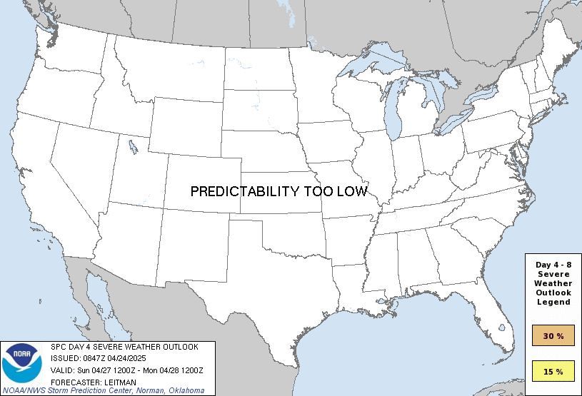
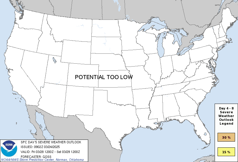
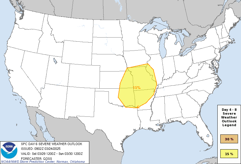
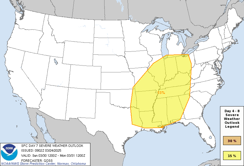
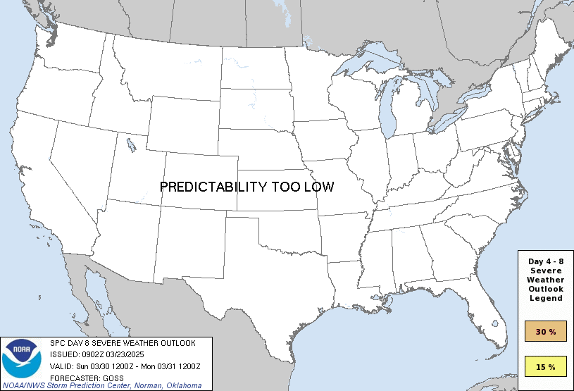
Clicking any of the above images will take you directly to that outlook's detail page. Or you can view all severe outlooks on one page →
Overview of the threat for the next few hours
Severe Weather Watches (shown on the image below) indicate potential threats from now through the next few hours.

View more details on the watches page.
National Risk Overview
- Thursday, October 22
- TORNADO: 5%
- HAIL: 15%
- WIND: 15%
- Friday, October 23
- TORNADO: 2%
- HAIL: 15%
- WIND: 5%
- Saturday, October 24
- ANY SEVERE: 5%
- Sunday, October 25
- ANY SEVERE: potential too low
- Monday, October 26
- ANY SEVERE: potential too low
- Tuesday, October 27
- ANY SEVERE: potential too low
- Wednesday, October 28
- ANY SEVERE: potential too low
- Thursday, October 29
- ANY SEVERE: potential too low
Your Severe Outlook
Hey, it looks like your location wasn't detected.
Drag the marker on the map and we'll show you the severe weather potential for a given location.
Hi, I'm Hayley. Did you know that I run this site out of my own pocket? So if you'd like to help out and you're already planning on buying something off of Amazon, why not use our Amazon Severe Weather Outlook link before you buy and we'll get a tiny portion of your purchase.
About Severe Weather Outlook . com
SWO started as a spinoff project of wickedwx, but has since replaced the site.
- tornado hq - live severe weather warnings
- cyclocane - hurricanes/typhoons/cyclones
- tornado solitaire - play cards while you monitor the US severe weather threat
- tertremo - live view of earthquakes around the world
- earthquake solitaire - get live earthquake updates as you play your favorite card game