TORNADO HQ: waiting on update ...

Finding your location risk...

Severe Weather Outlook

show me my personal outlook →

Hayley here - Do you want to see severe weather in your calendar?


* it's like an add-on for your digital calendar NOT a paper calendar

Outlook for Tuesday, September 8

Outlook Images

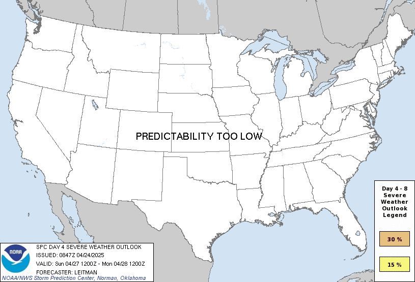
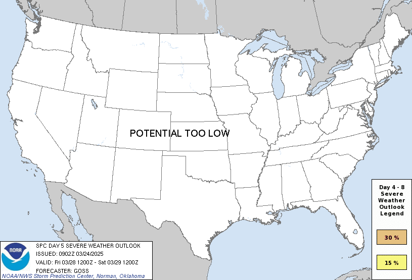
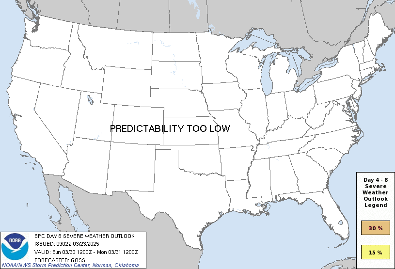
any severe predictability too low

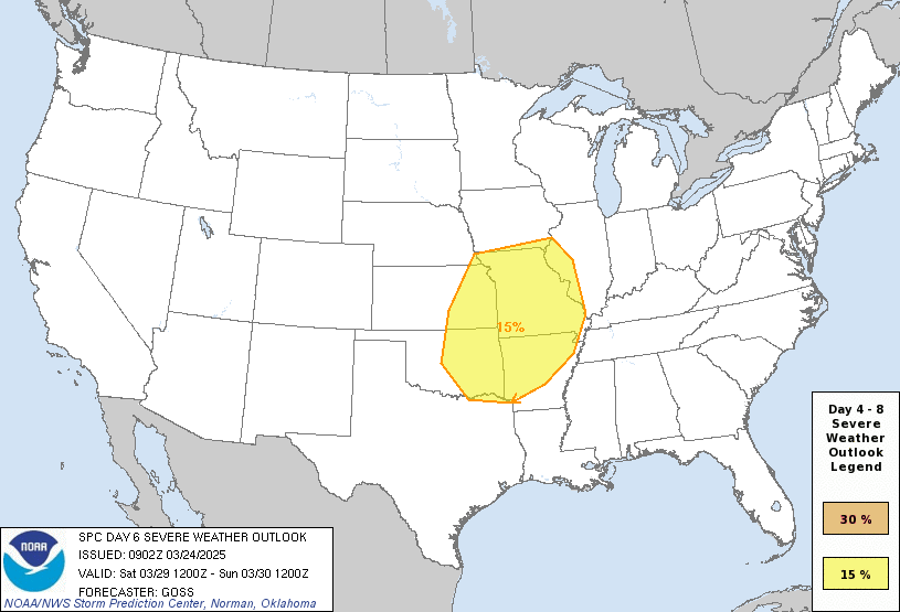
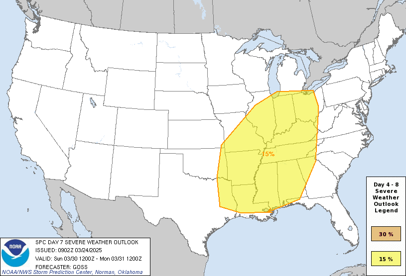
any severe severe weather outlook for Tuesday, September  8

Note on Medium Range Outlooks

You are looking at an outlook that is part of the medium range forecast (the outlook for days 4-8). The most important thing to note is that lack of a risk does not mean zero risk. Generally speaking, confidence has to be pretty high for the Storm Prediction Center to have an outlook area this far into the future.

When no specific risk areas are shown, you might see one of these phrases:

If you bookmark this page, it will continue to update with each new outlook that is issued.

Days Covered in this Outlook

Day 4 Friday, September 4 15%
Day 5 Saturday, September 5 predictability too low
Day 6 Sunday, September 6 predictability too low
Day 7 Monday, September 7 predictability too low
Day 8 Tuesday, September 8 predictability too low

Detailed Outlook

ZCZC SPCSWOD48 ALL ACUS48 KWNS 010828 SPC AC 010828

Day 4-8 Convective Outlook NWS Storm Prediction Center Norman OK 0328 AM CDT Tue Sep 01 2026

Valid 041200Z - 091200Z

DISCUSSION

An upper ridge will meander from the Mid-MS and TN Valleys toward the Plains through the extended period, with upper troughs poised to amplify along the East Coast and over the Interior West. Multiple mid-level impulses will traverse this flow pattern, translating from the Pacific Northwest to the northern Plains and Upper MS Valley, then the Mid-Atlantic. It is in this elongated, roughly zonal corridor that thunderstorm potential will be highest.

The severe threat with the relatively highest degree of predictability will be across the Mid-Atlantic Days 4-5 (Friday and Saturday). On Friday, a diffuse differential heating boundary, generated by thunderstorm clusters from previous days, will likely become established somewhere across the southern Mid-Atlantic. As an upper trough amplifies over this differential heating boundary, thunderstorms should develop amid rich low-level moisture beneath stronger flow aloft. The more organized storms may produce damaging wind gusts (hence the maintenance of 15 percent severe probabilities). Calibrated ML/AI guidance suggests that the severe threat may persist into Saturday across the Carolina Piedmont. However, deterministic guidance shows the upper trough advancing further into the Atlantic this weekend, along with upper support. As such, storm coverage and initiation mechanisms for Saturday remain too unclear this far in advance for the introduction of severe probabilities at this time.

Amplification of the Interior West upper trough will support surface lee troughing and accompanying low-level moisture advection across the Plains states. While at least isolated severe thunderstorms may occur any where from the northern/central High Plains toward the Upper MS Valley, predictability of any severe potential is too low this far out.

..Squitieri.. 09/01/2026

CLICK TO GET WUUS48 PTSD48 PRODUCT

National Risk Overview

Tuesday, September 1
TORNADO: 2%
HAIL: 15%
WIND: 15%
Wednesday, September 2
TORNADO: 2%
HAIL: 15%
WIND: 15%
Thursday, September 3
ANY SEVERE: 15%
Friday, September 4
ANY SEVERE: 15%
Saturday, September 5
ANY SEVERE: predictability too low
Sunday, September 6
ANY SEVERE: predictability too low
Monday, September 7
ANY SEVERE: predictability too low
Tuesday, September 8
ANY SEVERE: predictability too low

Your Severe Outlook

Map loads as you approach it.

Hey, it looks like your location wasn't detected.

Drag the marker on the map and we'll show you the severe weather potential for a given location.


Hi, I'm Hayley. Did you know that I run this site out of my own pocket? So if you'd like to help out and you're already planning on buying something off of Amazon, why not use our Amazon Severe Weather Outlook link before you buy and we'll get a tiny portion of your purchase.


Severe Weather Outlook Amazon link →


About Severe Weather Outlook . com

SWO started as a spinoff project of wickedwx, but has since replaced the site.