Severe Weather Outlook
Hayley here - Do you want to see severe weather in your calendar?
* it's like an add-on for your digital calendar NOT a paper calendar
Outlook for Thursday, September 17
Outlook Images
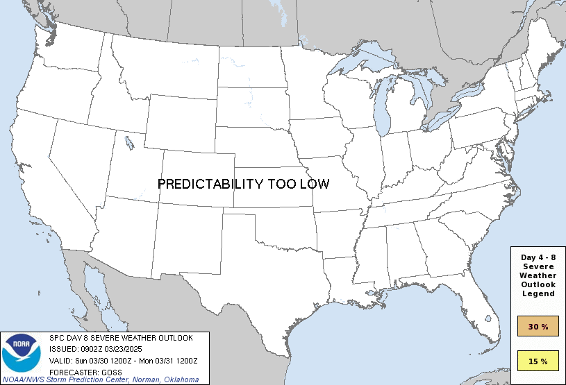
any severe predictability too low
Note on Medium Range Outlooks
You are looking at an outlook that is part of the medium range forecast (the outlook for days 4-8). The most important thing to note is that lack of a risk does not mean zero risk. Generally speaking, confidence has to be pretty high for the Storm Prediction Center to have an outlook area this far into the future.
When no specific risk areas are shown, you might see one of these phrases:
- Predictability Too Low: This means that severe storms might be possible, but forecasters aren't confident enough about where or when they might occur. Think of it as the models showing different possibilities, like pieces of a puzzle that haven't come together yet.
- Potential Too Low: This means forecasters are fairly confident that widespread severe weather is NOT expected on that day. While isolated storms might still occur, the chance of reaching severe criteria across any given area is very low.
If you bookmark this page, it will continue to update with each new outlook that is issued.
Days Covered in this Outlook
| Day 4 | Sunday, September 13 | predictability too low |
| Day 5 | Monday, September 14 | 15% |
| Day 6 | Tuesday, September 15 | predictability too low |
| Day 7 | Wednesday, September 16 | predictability too low |
| Day 8 | Thursday, September 17 | predictability too low |
Detailed Outlook
ZCZC SPCSWOD48 ALL ACUS48 KWNS 100744 SPC AC 100744
Day 4-8 Convective Outlook NWS Storm Prediction Center Norman OK 0244 AM CDT Thu Sep 10 2026
Valid 131200Z - 181200Z
DISCUSSION
Days 4-5/Sun-Mon – Central Plains to the Mid-MS Valley
A progressive upper pattern is expected early in the week. An initial upper trough over the Great Lakes will spread east as upper ridging builds across the Plains. Meanwhile, another upper trough over the Northwest will shift east, moving across the northern Plains and Upper Midwest on Monday, breaking down the upper ridge. Surface high pressure over the Great Lakes on Sunday will suppress low-level moisture southward across the central/southern Plains and the Mid-MS/Lower OH Valleys. A very moist airmass will be in place to the south of a stalled frontal boundary across the region. Widespread showers and thunderstorms will be possible near the surface boundary within low-level warm advection over the Middle to Lower MO Valley. Vertical shear will be weak, but strong instability could some strong gust potential, though convection may stay mainly to the cool side of the surface boundary. Overall, severe potential appears less than 15 percent on Sunday.
Severe potential will likely increase on Monday as the upper ridge breaks down and stronger southwesterly flow overspread the northern/central Plains to the Mid/Upper MS Valleys. Rich boundary layer moisture will be in place ahead of a southeastward-advancing cold front. Convection may be ongoing from the northern Plains into IA/IL Monday morning. This results in some uncertainty in position of best severe potential. Currently, the best overlap of rich boundary layer moisture, strong instability and favorable shear near the advancing cold front appears to be from eastern NE into IA and vicinity. A 40+ kt southwesterly low-level jet is expected to develop during the nighttime hours across KS/NE into IA, oriented along the surface front, supporting an organized line of storms tracking southeast ahead of the front, and promoting damaging wind potential. Overall, the pattern appears favorable for at least isolated severe storms on Monday, and a 15 percent delineation has been included.
Days 6-8/Tue-Thu
The early week surface front will stall from the southern Plains to Mid-MS/Lower OH Valley through mid-week. A very moist airmass will persist south of the boundary, and persistent low-level warm advection could favor bouts of heavy rain. While some low-level severe potential could develop where pockets of strong destabilization occurs, weak vertical shear should largely limit more widespread potential, precluding probabilities.
..Leitman.. 09/10/2026
CLICK TO GET WUUS48 PTSD48 PRODUCT
National Risk Overview
- Thursday, September 10
- TORNADO: low
- HAIL: 5%
- WIND: 5%
- Friday, September 11
- TORNADO: 5%
- HAIL: 15%
- WIND: 30%
- Saturday, September 12
- ANY SEVERE: 5%
- Sunday, September 13
- ANY SEVERE: predictability too low
- Monday, September 14
- ANY SEVERE: 15%
- Tuesday, September 15
- ANY SEVERE: predictability too low
- Wednesday, September 16
- ANY SEVERE: predictability too low
- Thursday, September 17
- ANY SEVERE: predictability too low
Your Severe Outlook
Hey, it looks like your location wasn't detected.
Drag the marker on the map and we'll show you the severe weather potential for a given location.
Hi, I'm Hayley. Did you know that I run this site out of my own pocket? So if you'd like to help out and you're already planning on buying something off of Amazon, why not use our Amazon Severe Weather Outlook link before you buy and we'll get a tiny portion of your purchase.
About Severe Weather Outlook . com
SWO started as a spinoff project of wickedwx, but has since replaced the site.
- tornado hq - live severe weather warnings
- cyclocane - hurricanes/typhoons/cyclones
- tornado solitaire - play cards while you monitor the US severe weather threat
- tertremo - live view of earthquakes around the world
- earthquake solitaire - get live earthquake updates as you play your favorite card game